
“As we crossed the Colorado-Utah border I saw God in the sky in the form of huge gold sunburning clouds above the desert that seemed to point a finger at me and say, “Pass here and go on, you’re on the road to heaven.”
― Jack Kerouac, “On the Road”
Refreshed by the coolness of morning air, we wake up early and take off for the Bureau of Land Management (BLM) office in Kanab, Utah. Kristen had recalled the night before that Vermilion Cliffs National Monument is actually home to a famous rock formation known as ‘The Wave’, which has been in numerous documentaries. Unfortunately, due to its popularity, only 20 permits per day are available (10 via online bookings and 10 through an in-person lottery held for the next day). Hence, instead of listening to the birds chirping in the pines and lazing about in our hammocks reading a nice book, we are booking it another 60 miles to Kanab to try our luck. To get there we have to make our way back down the other side of the mountain pass, which provides stunning views of the rising sun glinting off the five layers of the ‘Grand Staircase’ in hues of pink, chocolate, vermilion, white, orange, and gold. The staircase, composed of various layers of sedimentary rock of different ages deposited over eons, starts at the base of the Grand Canyon and rises towards its peak atop Bryce Canyon. Grand Staircase National Monument is a fascinating place, which I visited back in 2014 when I did a whirlwind tour of the National Parks of the west before starting my job at NOAA. I was utterly enthralled by my few days in the Grand Staircase area and promised to come back one day. I am anxious to dive into its desolate, depauperate and unpopulated interior with our 4×4, but, first, Vermilion Cliffs and the Grand Canyon.
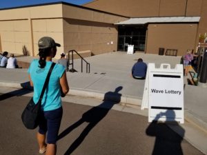
We arrive at the BLM station just in time for the lottery–along with about 100 other eager tourists. Our hopes are dashed by the popularity of The Wave, since we had hoped that COVID had potentially reduced the number of people visiting the area. I sit in the unshaded parking lot as the rising sun quickly turns the cool morning into a dry scorched desert (a bitter foreshadowing of the next day’s heat, but without the shadow part), while Kristen represents us inside at the lottery. She soon returns along with her fellow, less boisterous losers. As we are preparing to leave, the rangers ask if anyone would like to be entered for the second drawing for another restricted area in Vermilion Cliffs known as ‘The White Pocket’. Although less famous, it is another crazy rock formation, which is much less visited due to its location deep in the interior of Vermilion Cliffs accessible only by 4×4 through DEEP sand. I had spent a long night reading about the accessibility of the White Pocket preparing for the inevitability that we would not win The Wave lottery. Like much of the internet, the 4×4 community (an interesting way to waste hours is to explore the debates taking place on 4×4 forums, what an interesting mix of people and opinions; probably only second to spending a few minutes on weightlifting forums–the internet is full of all sorts) appeared deeply divided on the skills and tools needed to attack the White Pocket, agreeing on only one aspect–the sand IS DEEP. As the recommendations for almost all 4×4 expeditions (regardless of how short or simple), people recommended expensive kits, recovery tools, huge tires, and traveling in a group. We had ourselves, our stock tires, a small shovel, and a couple short wood planks. The jury was out on this one.
We entered the lottery and were called in 15 minutes later along with a middle aged woman who looked like she had spent a day or two in the desert before. As it turned out, the White Pocket is consistently overlooked, because the typical tourist only wants to see the famous instagram spots–and doesn’t have a giant 4×4. After a 20 minute introduction emphasizing the dangers of getting stuck in the DEEP sand, the fact that the BLM rangers will not come tow you out, and the general planning required to spend time in the desert, we were told we had all ‘won’ the lottery. We were then all grilled on our rigs, at which point we grilled the rangers on whether a 4runner could handle it. It turned into a standoff of sorts. The rangers were non-committal, claiming ignorance about the capabilities of a 4runner, likely covering their butts in case we did get stuck. Luckily, in our nervousness and lack of 4×4 experience, the nice lady–who turned out to be a local tour operator–pulled us aside and started giving us tips and reassured us that with a stock 4runner we could easily handle the drive. She said not to listen to the rangers, because they rarely even went out there or knew the conditions. Before parting, she provided a few tips, which matched my own limited knowledge–air out the tires to increase friction in sand, when you hit the patches of deep sand maintain speed and do not stop, bring a shovel and few pieces of wood to dig out if you get stuck (and floor mats are great to put atop the wood for extra traction), and, worst case, if you do get stuck stay put and wait for someone to come by and help you out (despite the remoteness usually one or two tours go out there every day, so someone will show up eventually). Then, winking, she turned to go and told us we wouldn’t regret it, The Wave was for tourists, The White Pocket was for explorers.
With this added support, we decide to give it a shot. These types of opportunities are, afterall, the main reason we drove a 4runner out to this barren desert. So, spirit renewed, we use Kanab for what it was built for–filling up. We buy gas, fill up all our water containers, and stock up on provisions, then retrace our route back to Jacob Lake. Back in the coolness of the mountains, we decompress and plan out the next few days. I take off for the endless expanse of roads in the Kaibab National Forest that spider through the plateau of the North Rim of the Grand Canyon. Kristen retreats to the tent vestibule, connects our solar setup, and spends the afternoon science-ing–the life of a Ph.D. student!
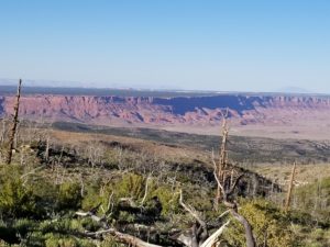
I meander through the forest on dirt roads testing out the 4WD and all of the associated buttons and capabilities. Given that this is my first time doing so in the 4runner, it seems like an important step before tackling one of the toughest 4WD terrains that exist–DEEP sand (I think that if 4WD enthusiasts have any perceived kryptonite, it is deep sand, otherwise they think they are invincible). Doing my best to get lost, I meander endlessly, trying out the smallest, steepest hints of tracks I can find–trying to put the capabilities of the 4runner to the test. It seems to be able to handle everything with ease; more than once I find myself on a narrow ridge wondering if I haven’t gotten myself into a bit of a tight spot. Clearly, the issue is not capability, but user ability. However, I manage to make it through the afternoon and even find a breathtaking viewpoint off to the west that provides an endless vista of the Vermilion Cliffs along with the road across the plateau that we came across the night before. Eventually, I head back to camp, but not before stopping off for the famous Jacob Lake Bakery cookies. I pull into our campsite, car no worse for wear, but a bit more dusty than when I left, and hand the hardworking Kristen a giant, gooey chocolate chip cookie. After a quick snack, we load back in and I take her to my secret viewpoint for the natural light show that is sunset in the southwest. Eating cookies on a dirt track, the Vermilion Cliffs looming in the distance with the sun dancing colors off an endless array of colorful rock formations, vacation has truly arrived.
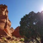
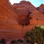
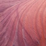
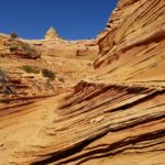
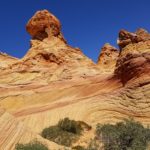
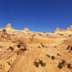
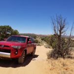
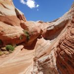
Permit in hand, we wake early once again and head down the mountain pass, this time in the direction we initially came in (i.e., towards the east). We watch the sunrise over Vermilion Cliffs and turn onto the gravel road that heads into the heart of the monument. After about 20 miles of bumpy washboards and pelting pebbles, we turn onto the dirt road into Coyote Buttes South (a special management unit within the Paria Canyon-Vermilion Cliffs wilderness area) and come to an immediate stop, because, dead ahead, we see our nemesis–DEEP sand. We get out, stretch our legs and let air out of the tires down to about 20 PSI. After a quick snack and some water to calm the nerves, we load up and head in. Fortunately, the 4runner handles DEEP sand like a hovercraft on a lake. We float across the sand with little problem, aside from a few stubborn heads of cattle (thanks Bureau of Livestock and Mining), which block the path periodically–always in the DEEPest sand, threatening to stall us in our tracks. But, eventually, we make it to The Paw Hole trailhead and head out into the red rock formations amid the growing heat. There is no use trying to explain in words the beauty of the place. As we cross a small hill, trudging through ankle deep sand, the dark red and orange rock formations (hoodoos and buttes, oh my) appear amidst the barren desert; piles of rock rise reminiscent of an apocalyptic earthquake scene in a sci-fi movie that someone has left on pause. We wander for an hour, the entire place to ourselves. We argue, laughingly, whether or not this place is ‘as good’ as ‘The Wave’. Kristen says it is not quite the same, but I argue that not having to fight instagrammers in our view cannot possibly be adequately weighed in rating the two spots. After lazing in the shade of red rocks, we build our strength and trudge back to the car across the building heat of the shadeless desert.
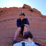
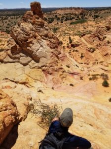
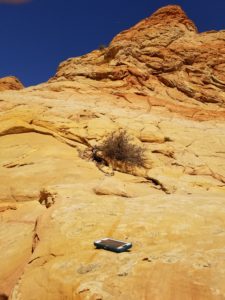
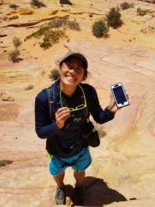
We drive another hour to the next trailhead called Cottonwood Cove. The heat is almost unbearable. Almost. We hike a half mile into the middle of another set of buttes. Here, the rock is broken into mosaic patterns reminiscent of the scaly back of a dinosaur. As we climb towards the top of a butte, one of the stories of the trip that will forever live in infamy unfolds. Kristen climbs up to a viewpoint about 50 feet up and takes a seat above a relatively shallow cliff, perched like an eagle taking in the scene. After snapping a few pictures from atop the scaly dinosaur rocks at the base of the cliff, I begin to climb up after her. As I turn the corner to scramble over to her perch, I look up to see her pulling out her phone for a picture. But, as she does so, her fingers slip and the aqua case disappears below the cliff edge. I arrive just in time to peer over her shoulder as the corner of the phone hits the bottom of the gently declining cliff edge–a blue blur amid a swirling backdrop of orange and red and white. The phone then proceeds to cartwheel in successively shorter leaps and bounds. The first bounce lasts maybe 10 feet, then 5; the momentum just keeps carrying it down and down into the saddle of butte before settling atop a scaly patch. In total, the phone probably takes a 40 foot in free fall swan dive, then another 30 feet of bouncing lateral movement along the hypotenuse of a triangle, before barrel rolling a final few feet to where it now sits–a blue speck below us, face down in the bright sun. We are both silent, dumbfounded at what we just saw and a bit afraid of what might be left of Kristen’s brand new $600 iPhone. After a minute, we both crack up laughing. What we just witnessed was simply ridiculous. There is nothing that we can do now about the phone, but the moment was breathtaking, surreal, and humorous in its own way. I take a few pictures of the scene of the crime from above, for posterity. We then continue exploring the top of the Butte, figuring it isn’t like anyone is going to steal the phone given that we are the only animals within 50 miles of here dumb enough to be about in the mid-day heat. When we finally get to the base of the cliff, we approach the phone like a wounded animal, hesitant to observe the carnage. Eventually, Kristen musters the courage to carefully pick up the phone only to find, much to our surprise and elation, it is completely intact! The Otterbox case is a little worse for wear with some huge dings in the rubber, but the phone screen is not shattered and doesn’t have a scratch. It feels like we just lived through one of those iPhone commercials where they purposely drop the phone from some unrealistic spot (like the top of a cliff) and pick it up unharmed. We joke that if Kristen had been taking a video we could have sold it to Otterbox for thousands. Not only would no one believe it survived the fall, but the spiraling colors of the blue sky mixed with orange and red rocks would have made a kaleidoscopic, trippy video worthy of an art installation. And thus ended the great phone drop.
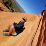
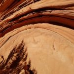
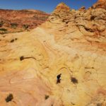
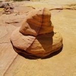
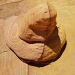
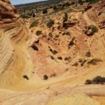
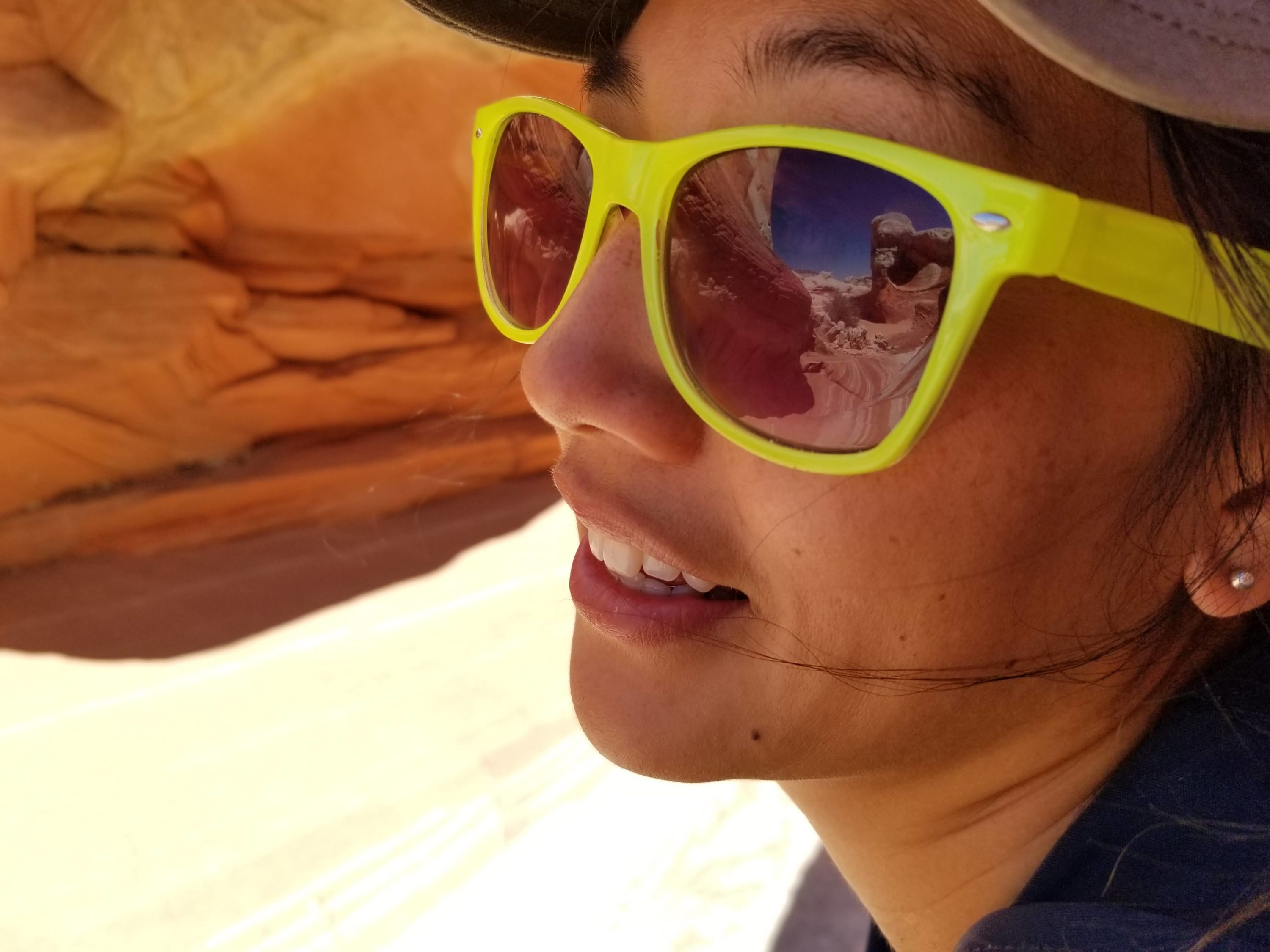
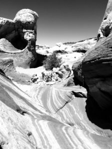
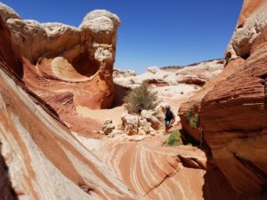
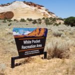
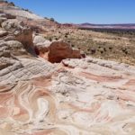
We headed back towards the car laughing, which didn’t last too long as the heat quickly sapped our ability to feel anything within two minutes. The temperature had topped 100 degrees by the time we reached the car. From there we continued further into the desert wilderness to the White Pocket trailhead, mastering the DEEP sand like a crazed zamboni driver sliding across an ice rink. The white pocket is yet another amazing rock formation, this time dominated by white rocks embedded in layers of red and orange. We wander for an hour before the heat breaks us and we return to the car and even splurge on a few minutes of A/C. We turn towards home through the DEEP sand, taking in the stark beauty of the desert landscape pocked with intermittent red hoodoos and the large buttes that dominate the horizon. Home in time for dinner, gallons of water, and early to bed, for tomorrow: the Grand Canyon (and no more DEEP sand).





Leave a Reply